RSS Mesoscale Discussions from Storm Prediction Center
WW 291 SEVERE TSTM KS NE 090130Z - 090700Z


URGENT - IMMEDIATE BROADCAST REQUESTED
Severe Thunderstorm Watch Number 291
NWS Storm Prediction Center Norman OK
730 PM MDT Mon Jun 8 2026

The NWS Storm Prediction Center has issued a

* Severe Thunderstorm Watch for portions of
  Northwest Kansas
  Western and Southwest Nebraska

* Effective this Monday night and Tuesday morning from 730 PM
  until 100 AM MDT.

* Primary threats include...
  Scattered damaging winds and isolated significant gusts to 75
    mph possible
  Isolated very large hail events to 2 inches in diameter possible
  A tornado or two possible

SUMMARY...A mix of supercells and clusters should continue to pose a
threat for occasional large hail and scattered severe/damaging winds
up to 60-75 mph as they spread generally eastward this evening into
the early overnight hours. A tornado or two may also occur with
line-embedded circulations.

The severe thunderstorm watch area is approximately along and 60
statute miles east and west of a line from 50 miles east southeast
of Goodland KS to 65 miles west northwest of North Platte NE. For a
complete depiction of the watch see the associated watch outline
update (WOUS64 KWNS WOU1).

PRECAUTIONARY/PREPAREDNESS ACTIONS...

REMEMBER...A Severe Thunderstorm Watch means conditions are
favorable for severe thunderstorms in and close to the watch area.
Persons in these areas should be on the lookout for threatening
weather conditions and listen for later statements and possible
warnings. Severe thunderstorms can and occasionally do produce
tornadoes.

&&

OTHER WATCH INFORMATION...CONTINUE...WW 287...WW 288...WW
289...WW 290...

AVIATION...A few severe thunderstorms with hail surface and aloft to
2 inches. Extreme turbulence and surface wind gusts to 65 knots. A
few cumulonimbi with maximum tops to 500. Mean storm motion vector
27030.

...Gleason


Read more
WW 290 SEVERE TSTM KS 090030Z - 090600Z


URGENT - IMMEDIATE BROADCAST REQUESTED
Severe Thunderstorm Watch Number 290
NWS Storm Prediction Center Norman OK
730 PM CDT Mon Jun 8 2026

The NWS Storm Prediction Center has issued a

* Severe Thunderstorm Watch for portions of
  Central and Eastern Kansas

* Effective this Monday night and Tuesday morning from 730 PM
  until 100 AM CDT.

* Primary threats include...
  Widespread damaging winds and isolated significant gusts to 85
    mph likely
  Scattered large hail and isolated very large hail events to 2
    inches in diameter possible
  A tornado or two possible

SUMMARY...Supercells should continue to transition and grow upscale
into an intense bowing cluster this evening. Occasional large to
very large hail and perhaps a tornado or two will remain possible
with any thunderstorms that can remain at least semi-discrete.
Otherwise, numerous to potentially widespread severe/damaging winds
appear likely with the bowing complex. Peak gusts may reach up to
75-85 mph on an isolated basis.

The severe thunderstorm watch area is approximately along and 50
statute miles north and south of a line from 25 miles north
northwest of Salina KS to 35 miles southeast of Topeka KS. For a
complete depiction of the watch see the associated watch outline
update (WOUS64 KWNS WOU0).

PRECAUTIONARY/PREPAREDNESS ACTIONS...

REMEMBER...A Severe Thunderstorm Watch means conditions are
favorable for severe thunderstorms in and close to the watch area.
Persons in these areas should be on the lookout for threatening
weather conditions and listen for later statements and possible
warnings. Severe thunderstorms can and occasionally do produce
tornadoes.

&&

OTHER WATCH INFORMATION...CONTINUE...WW 287...WW 288...WW 289...

AVIATION...A few severe thunderstorms with hail surface and aloft to
2 inches. Extreme turbulence and surface wind gusts to 75 knots. A
few cumulonimbi with maximum tops to 550. Mean storm motion vector
30035.

...Gleason


Read more
WW 0291 Status Updates


STATUS REPORT ON WW 291

SEVERE WEATHER THREAT CONTINUES RIGHT OF A LINE FROM 20 NNE ITR
TO 25 NNE GLD TO 20 SE IML TO 40 WNW LBF TO 50 ENE CDR.

..LYONS..06/09/26

ATTN...WFO...GLD...LBF...


STATUS REPORT FOR WS 291

SEVERE WEATHER THREAT CONTINUES FOR THE FOLLOWING AREAS

KSC039-065-137-153-179-181-193-090540-

KS
.    KANSAS COUNTIES INCLUDED ARE

DECATUR              GRAHAM              NORTON
RAWLINS              SHERIDAN            SHERMAN
THOMAS


NEC063-085-087-111-145-090540-

NE
.    NEBRASKA COUNTIES INCLUDED ARE

FRONTIER             HAYES               HITCHCOCK
LINCOLN              RED WILLOW


THE WATCH STATUS MESSAGE IS FOR GUIDANCE PURPOSES ONLY.  PLEASE
REFER TO WATCH COUNTY NOTIFICATION STATEMENTS FOR OFFICIAL
INFORMATION ON COUNTIES...INDEPENDENT CITIES AND MARINE ZONES
CLEARED FROM SEVERE THUNDERSTORM AND TORNADO WATCHES.


Read more
WW 0290 Status Updates


STATUS REPORT ON WW 290

SEVERE WEATHER THREAT CONTINUES RIGHT OF A LINE FROM 15 W CNK TO
10 NNE FLV.

..LYONS..06/09/26

ATTN...WFO...TOP...ICT...


STATUS REPORT FOR WS 290

SEVERE WEATHER THREAT CONTINUES FOR THE FOLLOWING AREAS

KSC003-015-017-027-029-031-041-045-059-061-073-079-085-087-111-
113-115-127-139-143-149-155-161-169-173-177-197-090340-

KS
.    KANSAS COUNTIES INCLUDED ARE

ANDERSON             BUTLER              CHASE
CLAY                 CLOUD               COFFEY
DICKINSON            DOUGLAS             FRANKLIN
GEARY                GREENWOOD           HARVEY
JACKSON              JEFFERSON           LYON
MCPHERSON            MARION              MORRIS
OSAGE                OTTAWA              POTTAWATOMIE
RENO                 RILEY               SALINE
SEDGWICK             SHAWNEE             WABAUNSEE


THE WATCH STATUS MESSAGE IS FOR GUIDANCE PURPOSES ONLY.  PLEASE
REFER TO WATCH COUNTY NOTIFICATION STATEMENTS FOR OFFICIAL
INFORMATION ON COUNTIES...INDEPENDENT CITIES AND MARINE ZONES
CLEARED FROM SEVERE THUNDERSTORM AND TORNADO WATCHES.


Read more
WW 0289 Status Updates
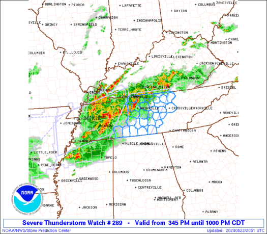
STATUS REPORT ON WW 289
SEVERE WEATHER THREAT CONTINUES RIGHT OF A LINE FROM 25 SSE CYS
TO 35 SSW TOR TO 45 E DGW.
..THORNTON..06/09/26
ATTN...WFO...CYS...
STATUS REPORT FOR WS 289
SEVERE WEATHER THREAT CONTINUES FOR THE FOLLOWING AREAS
NEC007-013-033-105-123-157-165-090240-
NE
. NEBRASKA COUNTIES INCLUDED ARE
BANNER BOX BUTTE CHEYENNE
KIMBALL MORRILL SCOTTS BLUFF
SIOUX
WYC015-090240-
WY
. WYOMING COUNTIES INCLUDED ARE
GOSHEN
THE WATCH STATUS MESSAGE IS FOR GUIDANCE PURPOSES ONLY. PLEASE
REFER TO WATCH COUNTY NOTIFICATION STATEMENTS FOR OFFICIAL
INFORMATION ON COUNTIES...INDEPENDENT CITIES AND MARINE ZONES
CLEARED FROM SEVERE THUNDERSTORM AND TORNADO WATCHES.
Read more
WW 0288 Status Updates


STATUS REPORT ON WW 288

SEVERE WEATHER THREAT CONTINUES RIGHT OF A LINE FROM 10 ENE COS
TO 35 NW LIC TO 25 SSE AKO TO 20 SW SNY.

FOR ADDITIONAL INFORMATION SEE MESOSCALE DISCUSSION 1037

..THORNTON..06/09/26

ATTN...WFO...BOU...GLD...


STATUS REPORT FOR WT 288

SEVERE WEATHER THREAT CONTINUES FOR THE FOLLOWING AREAS

COC017-039-063-073-125-090240-

CO
.    COLORADO COUNTIES INCLUDED ARE

CHEYENNE             ELBERT              KIT CARSON
LINCOLN              YUMA


KSC023-181-199-090240-

KS
.    KANSAS COUNTIES INCLUDED ARE

CHEYENNE             SHERMAN             WALLACE


NEC057-090240-

NE
.    NEBRASKA COUNTIES INCLUDED ARE

DUNDY

Read more
WW 0287 Status Updates
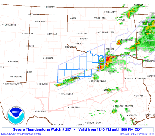
STATUS REPORT ON WW 287
SEVERE WEATHER THREAT CONTINUES RIGHT OF A LINE FROM 40 SSW HLC
TO 45 SSW HSI.
..LYONS..06/09/26
ATTN...WFO...ICT...GLD...DDC...GID...
STATUS REPORT FOR WT 287
SEVERE WEATHER THREAT CONTINUES FOR THE FOLLOWING AREAS
KSC009-051-053-089-105-123-141-153-159-163-167-183-193-195-
090140-
KS
. KANSAS COUNTIES INCLUDED ARE
BARTON ELLIS ELLSWORTH
JEWELL LINCOLN MITCHELL
OSBORNE RAWLINS RICE
ROOKS RUSSELL SMITH
THOMAS TREGO
NEC087-090140-
NE
. NEBRASKA COUNTIES INCLUDED ARE
HITCHCOCK
THE WATCH STATUS MESSAGE IS FOR GUIDANCE PURPOSES ONLY. PLEASE
REFER TO WATCH COUNTY NOTIFICATION STATEMENTS FOR OFFICIAL
INFORMATION ON COUNTIES...INDEPENDENT CITIES AND MARINE ZONES
CLEARED FROM SEVERE THUNDERSTORM AND TORNADO WATCHES.
Read more

