CNYWeather.com LIVE Weather Conditions
Weather Data is from a personal weather station located in Westmoreland, New York
Celebrating 20 years of live weather data in 2026!
Celebrating 20 years of live weather data in 2026!
--°F
Feels like:
Summary
High Today
Low Today
High Yesterday
Low Yesterday
CNYWeather Data Since 2006
Average High
Average Low
Record High
Record Low
Average Temp
Historical Temps
Precipitation Data
Manually measured at 7am in Winter
Precip Yesterday
-- in
Last 7 Days
0.10 in
August Precip
-- in
Diff from Avg: --"
August Avg
4.90 in
Yearly Precip
30.52 in
Last Year: --"
Snowfall Data
Manually measured daily at 7am
Snow Today
(Manual)
(Manual)
--
Auto Snow Today
(Experimental)
(Experimental)
--
Combined Total
(Manual + Auto)
(Manual + Auto)
--
Snow Yesterday
--
Snow
This Month
This Month
--
Snow 2025-26
--
Season: July - June
Snow Days
This Month
This Month
--
August
Avg Snow
Avg Snow
--
N
NE
E
SE
S
SW
W
NW
Current
Wind
Speed
Wind
Speed
Current
Wind
Gust
Wind
Gust
Today
Max
Gust
Max
Gust
mph
Barometer

Dew Point
Humidity
Rain Today
in/hr
Air Quality
--
--
UV Index
Solar Radiation
Sunrise:
Sunset:
Moonrise:
Moonset:
Indoor Temp:
--°F
--°F
Indoor Hum:
--%
--%
NEW
Laser Sensor
New Snow Depth:
-- in
New Snow Depth:
-- in
Experimental

NWS Radar - Montague, NY (KTYX)
CNYWeather Live Stream
Watch on YouTube if embed is unavailable
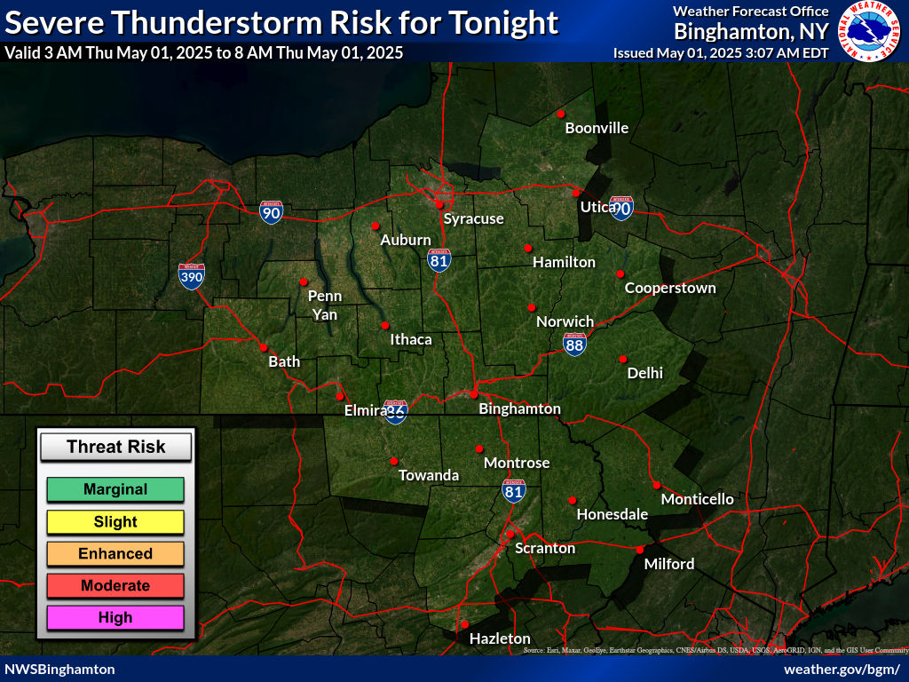
NWS Binghamton Thunderstorm Outlook

NWS Buffalo Thunderstorm Outlook
Hazardous Weather Outlook
Loading hazardous weather outlook...
Forecast Rome, NY (KRME)
View Full 10-Day Forecast
Copyright © 2026 CNYWeather.com
Never base important decisions from this website.
Site Updated July 19, 2026
PWA v2.0
PWA v2.0
Visitors to this site since June 1, 2005:
